Trail Walking La Romieu - compostelle   gr65   de la romieu a condom - Photo

compostelle gr65 de la romieu a condom

© OpenStreetMap contributors
Length
Length
14 km
Max alt
Max alt
214 m
Uphill gradient
Uphill gradient
264 m
Km-Effort
Km-Effort  
17.9 km
Min alt
Min alt
72 m
Downhill gradient
Downhill gradient
382 m
Boucle
Boucle
No
Creation date :
2016-03-09 00:00:00.0
Updated on :
2016-03-09 00:00:00.0

(0 Reviews)

Walking
Walking
--
Difficulty : Medium

Scan this QR Code to open this trail in the SityTrail application

FREE GPS app for hiking

Logo SityTrail SityTrail

IGN / Geographical institutes

Download SityTrail from the App Store Download SityTrail from Google Play

Logo SityTrail SityTrail World

The world is yours!

Download SityTrail from the App Store Download SityTrail from Google Play Download SityTrail on Huawei AppGallery

About

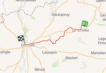
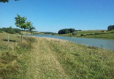
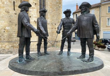
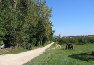
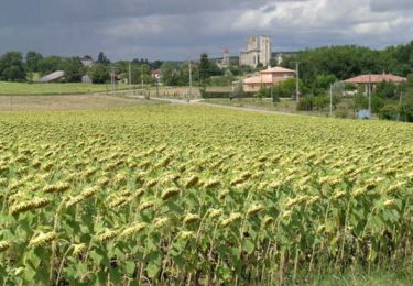
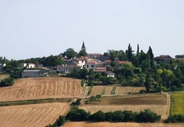
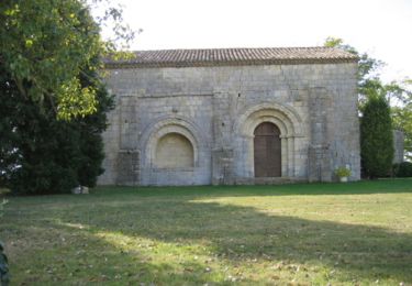
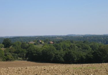
Trail Walking of 14 km to be discovered at Occitania, Gers, La Romieu. This trail is proposed by phimar_2612.

Elevation profile

Positioning

Country:
France
Region :
Occitania
Department/Province :
Gers
Municipality :
La Romieu
Location:
Unknown
Start:(UTM)
299412 ; 4872874 (31T) N.

Trails nearby

Trail Walking Castelnau-sur-l'Auvignon - CC_Velay_EE_21_Castelnau-Auvignon_Montreal_20080821 - Photo
Walking
patrickdanilo

Walking

Easy
Castelnau-sur-l'Auvignon, Occitania, Gers, France
26 km | 32 km-effort
6h 54min
No
Trail Walking La Romieu - La Romieu Condom  - Photo
Walking
ghislaine.geffroy

Walking

Medium
(1)
La Romieu, Occitania, Gers, France
13.1 km | 16.8 km-effort
3h 7min
No
Trail Walking La Romieu - GR65 La Romieu > Condom - Photo
Walking
choubaka77

Walking

Easy
La Romieu, Occitania, Gers, France
16.3 km | 21 km-effort
6h 0min
No
Trail Walking La Romieu - En passant par le Marcasson - La Romieu - Photo
Walking
tracegps

Walking

Medium
La Romieu, Occitania, Gers, France
15.5 km | 20 km-effort
4h 0min
No
Trail Walking La Romieu - Anciens fiefs de Gascogne - La Romieu - Photo
Walking
tracegps

Walking

Medium
La Romieu, Occitania, Gers, France
16.7 km | 21 km-effort
4h 15min
Yes
Trail Walking La Romieu - Les palombières du Broustès - La Romieu - Photo
Walking
tracegps

Walking

Medium
La Romieu, Occitania, Gers, France
13.2 km | 16.5 km-effort
3h 30min
Yes
Trail Walking La Romieu - Les méandres du petit Auvignon - La Romieu - Photo
Walking
tracegps

Walking

Medium
La Romieu, Occitania, Gers, France
13.1 km | 16.1 km-effort
3h 30min
Yes
Trail Walking La Romieu - Sur le tronçon du patrimoine mondial - La Romieu - Photo
Walking
tracegps

Walking

Medium
La Romieu, Occitania, Gers, France
14.3 km | 18.3 km-effort
4h 0min
Yes
Trail Walking La Romieu - Trois sites (grotte - chapelle - falaise) - La Romieu - Photo
Walking
tracegps

Walking

Medium
(1)
La Romieu, Occitania, Gers, France
12.7 km | 15.6 km-effort
3h 0min
Yes


Close
My subscriptions